Search Field Solutions & Services

Emesent Hovermap ST LiDAR Scanning Kit

Versatile Scanning Solution

Emesent Hovermap ST LiDAR Scanning Kit

Hovermap gives geospatial professionals the freedom to collect precise 3D data without limitations. From underground spaces and heavily vegetated terrain to expansive outdoor sites, Hovermap adapts to nearly any scenario, delivering reliable results even in challenging or GPS-denied environments.

Benefits

  • Efficient Data Capturing: LiDAR sensing range of up to 300 meters and triple returns capable of more than one million points per second.
  • Survey Grade Accuracy: Wildcat SLAM solution, automated ground control points, and a higher resolution LiDAR sensor provide a cleaner point cloud with sub-centimeter precision.
  • Uniquely Versatile: Plug-and-play design with a quick-release mechanism to allow easy switching between modes. You can use it as a handheld scanner, or attach it to a drone, vehicle, or pole. You can also lower it in a cage or mount it to a backpack to collect data anywhere.
  • Superior Detail: Capture shadowless, detailed, high-quality point clouds of an entire complex asset with high-density data sets to reveal richer features. Add a level of reality capture with colorization.

3 Modes Available:

Emesent offers a choice of capabilities designed to support diverse use cases and working environments.

  1. Core – Project-based mapping + essential support
  2. Mapping – Handheld or vehicle mapping + more advanced features
  3. Autonomy – Mobile mapping + advanced autonomy capabilities

Mission Modes for Jobsite Scanning:

  • Mapping Mode: Quickly scan interiors, exteriors, or entire sites by hand, backpack, vehicle, or drone when autonomy isn’t required.
  • Pilot Assist Mode: Adds omnidirectional collision avoidance and stability control, ideal for flying drones indoors or near steel structures without GPS.
  • Autonomous Waypoint Mode: Plan beyond-line-of-sight missions by tapping waypoints or defining 3D exploration zones directly on the live point cloud, enabling efficient, automated site mapping.

Product Info

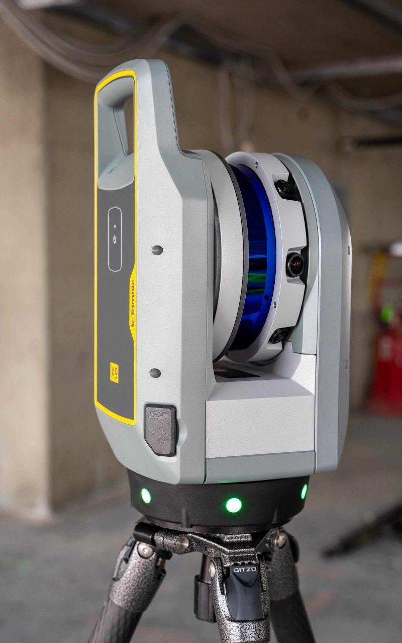
Hovermap ST is a cost-effective solution with proven SLAM-based mapping performance and extended scan time for a wide range of construction and layout applications.

Engineered with flexibility in mind, Hovermap’s quick-release design lets you move effortlessly between handheld scanning, backpack-mounted use, vehicle or pole-mounted workflows, and drone-based mapping. Its lightweight yet rugged build is engineered to stand up to the demands of any environment, including dust, debris, and unpredictable weather.