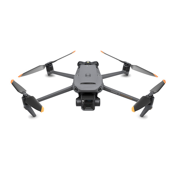
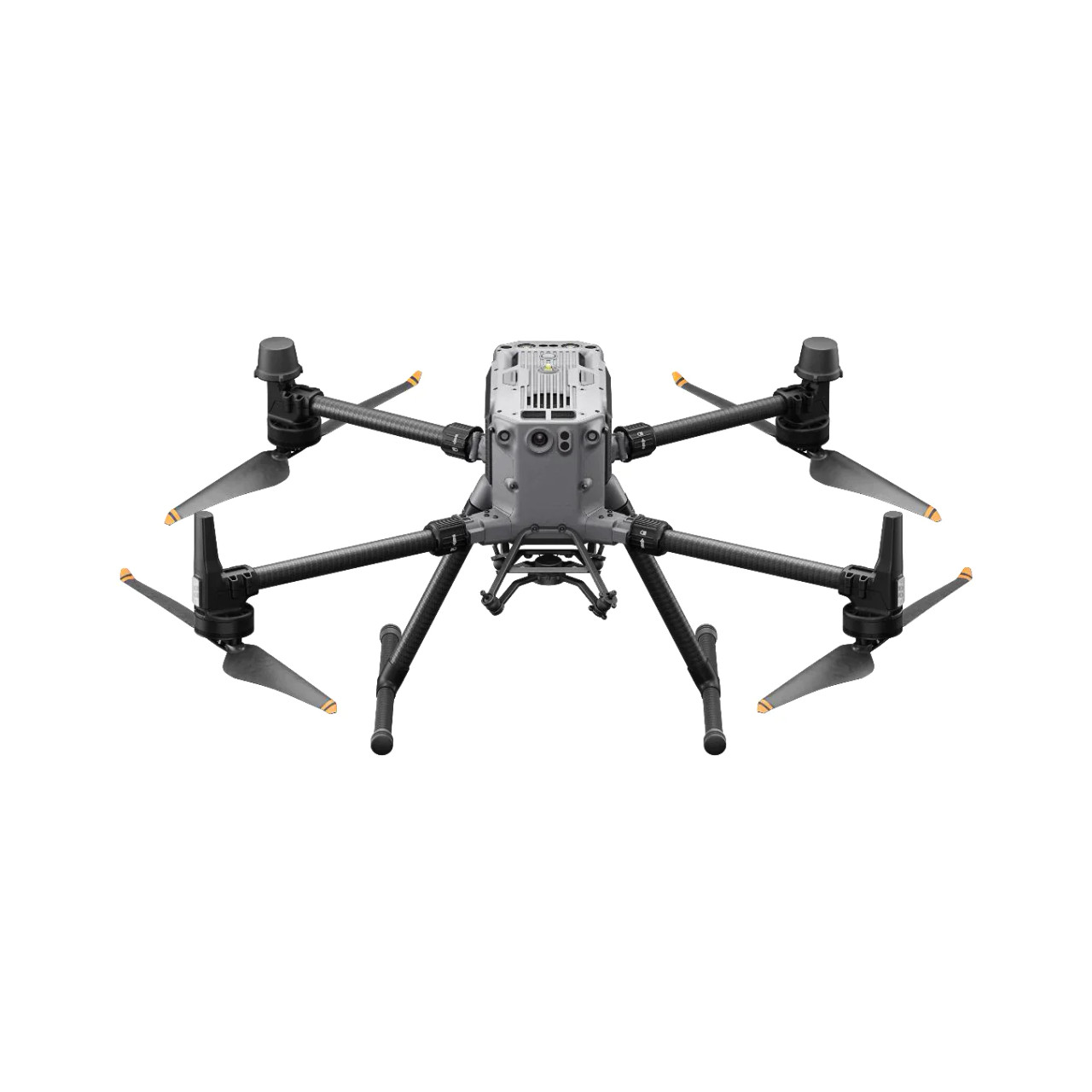
- Quality: exceptional build quality, reliability, and durability
- Camera Technology: high-res cameras, gimbals for stabilization, and advanced image processing
- Flight Performance: obstacle avoidance, GPS stabilization, and long-range transmission
- User-Friendliness: easy to pick up with intuitive controls and apps to get going quickly
- Interoperability: take data to multiple software packages
With a DJI drone, you can accomplish feats faster and more efficiently.
DJI drones provide you with an easy and comprehensive way to introduce aerial surveying into your workflows. They are lightweight, affordable, and equipped with sensors that deliver precision, and boost job site efficiency.
Why DJI
Explore Our Field Solutions
Enhance your next project with field solutions from BuildingPoint SouthEast.
All DJI Drone Solutions
DJI Drones Solutions
I am very pleased with the quality of service BuildingPoint SouthEast provides to all of us in our company. We sincerely appreciate your responsiveness and the way you conduct business. We look forward to doing business with you for years to come
I work for a large concrete contractor, out of Rocky Mount VA. We use the Trimble layout system. I started in this business 30 years ago, back when even the theodolite was not digital! Things have changed drastically, BuildingPoint SouthEast has helped increase our production and accuracy greatly! Here's to doing business together for years to come!
I am a Layout Engineer with Procon Inc. I can't say enough good things about the staff at BuildingPoint SouthEast. I always get timely service and the team is willing to help in any way they can. They are always my first call when we have a need or issue.
We use BuildingPoint SouthEast to service all of our Robotic Total Stations as well as rely on them for parts and training. Great place, great service, and great people.
Best in the business. I'll keep it simple. Friendly, Knowledgeable, Timeliness, Quality. I could go on and on.


