Trimble® ST30 Smart Target
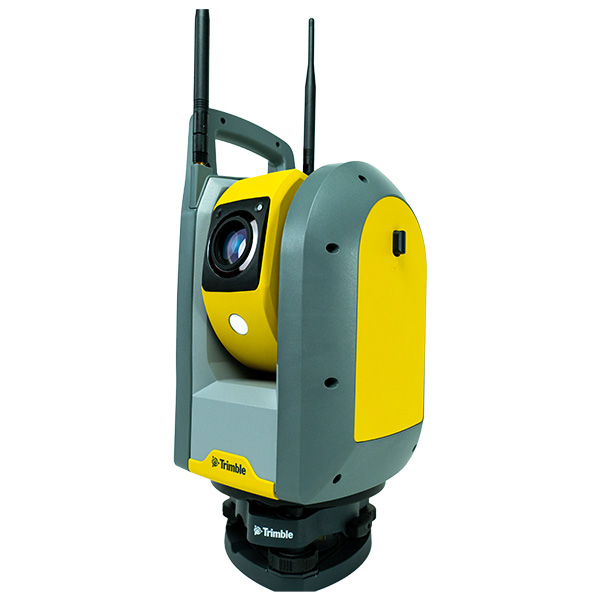
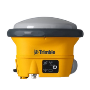
Measure faster, reduce setup time, and avoid common field errors with the Trimble ST30 smart target for optical and optional GNSS workflows.
What is the Trimble® ST30 Smart Target?
The Trimble® ST30 smart target helps vertical construction teams complete layout and measurement work faster while reducing common field errors. Tilt compensation eliminates the need to level the rod for every shot, making it easier to measure building corners, overhead structures, and other hard-to-reach points. Automatic rod height reduces manual entry mistakes, while active tracking, Target ID and GeoLock™ help crews stay locked onto the correct target or quickly regain lock after an interruption.

Applications and Use Cases
The ST30 excels in topographic surveys, design stakeouts, construction layout, and quality control work. Its automatic rod height and tilt compensation eliminate manual offset calculations, speeding up data collection whether you're measuring ground-level points or working in dense terrain.
Common Applications:
- Topographic surveys and site mapping
- Design stakeouts and construction layout
- Concrete coordinate verification and column locations
- Overhead and inverted measurements (beams, soffits, electrical runs)
- Building Information Modeling (BIM) data capture
- Quality control and dimensional verification
- Equipment rental and project-specific surveying
Key Features
Key features include:
- Tilt Compensation (TIP Technology): Measure at any angle without manual leveling for both optical and GNSS workflows
- Automatic Rod Height: Eliminates incorrect rod height entries and syncs automatically with Trimble field software (±0.6 mm RMS accuracy)
- Seamless Optical & GNSS: Switch between optical precision and GNSS speed in the same job file without changing equipment
- Best-in-Class Tracking: Active tracking, target ID, and GeoLock automatically re-acquire targets when line-of-sight is interrupted
- GeoLock with RTX: Includes Trimble RTX corrections standard—no subscription required for automated tracking
- Survey-Grade Accuracy: Optical horizontal < 2 mm RMS, vertical < 1 mm RMS; Network RTK GNSS 10 mm + 0.5 ppm
- Built to Last: IP67 rated, drop-tested to 2.6 m, and vibration-tested for rugged field conditions
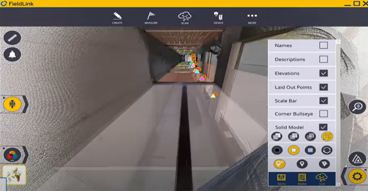
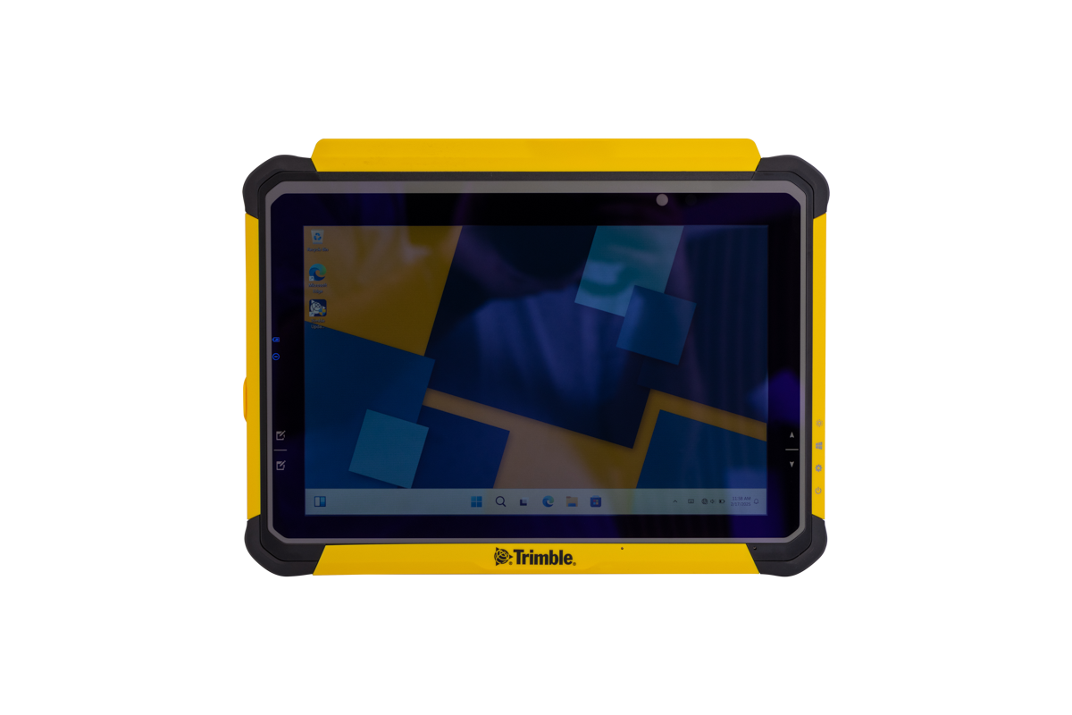
- Trimble Ecosystem Integration: Connects seamlessly with Trimble Access, FieldLink, and other field software for streamlined workflows